Rapid City to See 60 mph Winds on Monday
A low pressure system brings rain and strong gusts to KOTA Territory, disrupting weather for Election Day.
By Lauren Mitchell ·
Residents of Rapid City will experience mild conditions on Halloween night before a sharp turn in the weather arrives later this week. Overnight lows are projected to bottom out at 48 degrees, which is warmer than the seasonal norm. Highs on Saturday and Sunday will remain in the 60s under cloudy skies, providing clear conditions for weekend events.
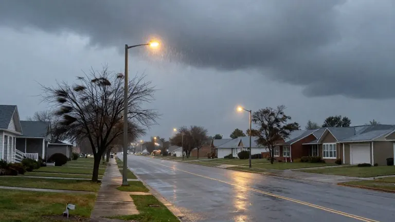
Widespread showers are expected to begin late Sunday evening. These initial rains serve as a precursor to a substantial low pressure system that will move into the region on Monday morning. Meteorologists describe Monday as a difficult day for the area, with temperatures dropping to the 50s and 40s and persistent rain expected throughout the day.
The primary concern for Monday is wind speed. Forecasts indicate gusts exceeding 45 mph during the daytime in Rapid City. As the sun sets, these winds are projected to intensify, reaching speeds over 60 mph. This combination of high winds and rain will affect much of KOTA Territory for the entire day and night.
Conditions will improve slightly by Tuesday, which is also Election Day. Winds will decrease throughout the day, though gusts may still approach 40 mph. Rain is expected to cease by Tuesday morning, allowing sunshine to return by the evening. The shift in weather patterns marks the end of the unsettled period.
The second half of the week will return to stable, seasonal norms. Highs will settle into the 50s while lows drop to the 30s. Skies will range from partly sunny to mostly sunny. The work week concludes on Friday with mostly sunny skies and temperatures in the low 50s.
Source: KOTA-TV